Mera Peak Climb
Classified as a climbing peak by Nepal Mountain Association (NMA), Mera peak stands at 6476 m altitu...
OVERVIEW & HIGHLIGHTS
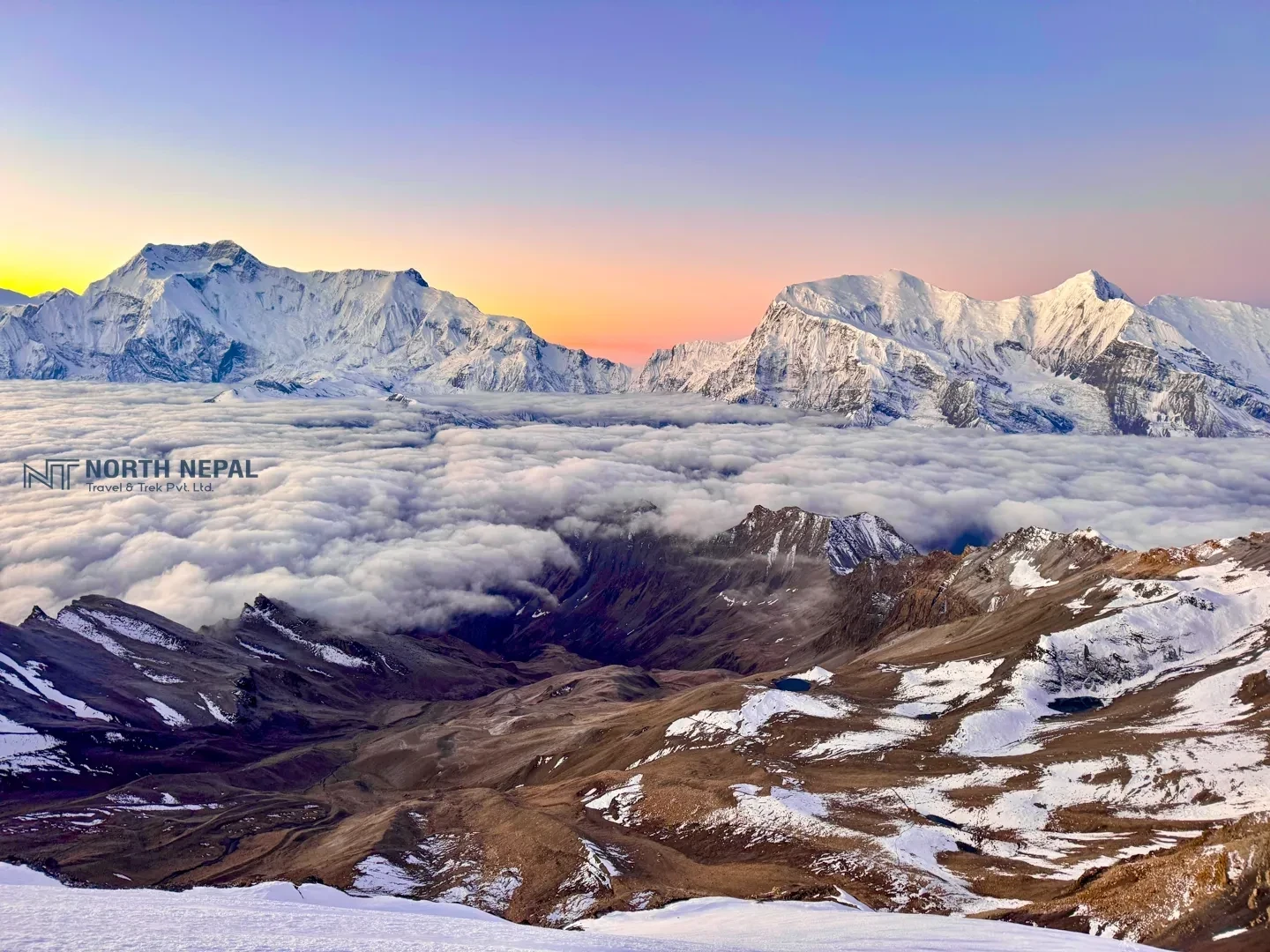
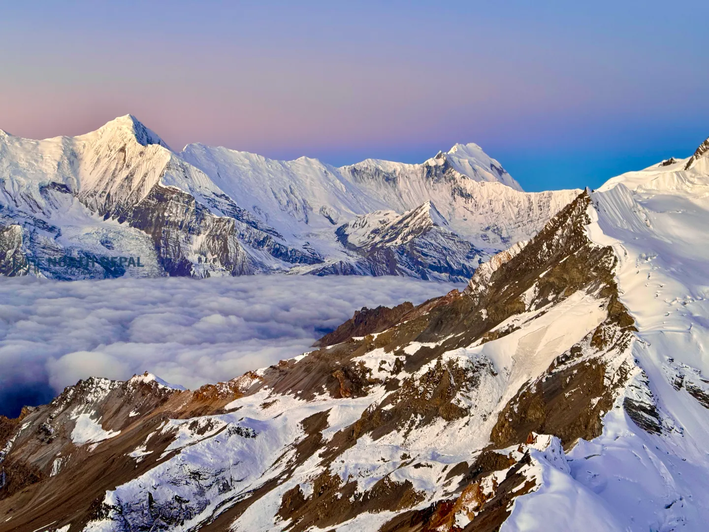
Chulu Far East Peak Climbing is an exciting expedition in Nepal's Annapurna region that combines trekking and peak climbing for adventure enthusiasts. Standing at 6,059 meters, Chulu Far East is the most approachable of the three Chulu peaks. It is beginner-friendly but not easy to climb due to its steepness. The journey offers breathtaking views of some of the world's most iconic peaks, including Annapurna II, III, and IV, Dhaulagiri, Gangapurna, Glacier Dome, and Tilicho Peak.
Dayaram Adhikari, Trekking Guide
Since founding North Nepal Trek in 2015, Mohan Raj Bhandari has kept a close eye on the Chulu Far East Peak Climb, and Dayaram Adhikari shares firsthand insight from personally leading this trek, so you know exactly what to expect before you go.
After breakfast at the hotel, we will check and purchase any missing gear in Thamel Bazaar.
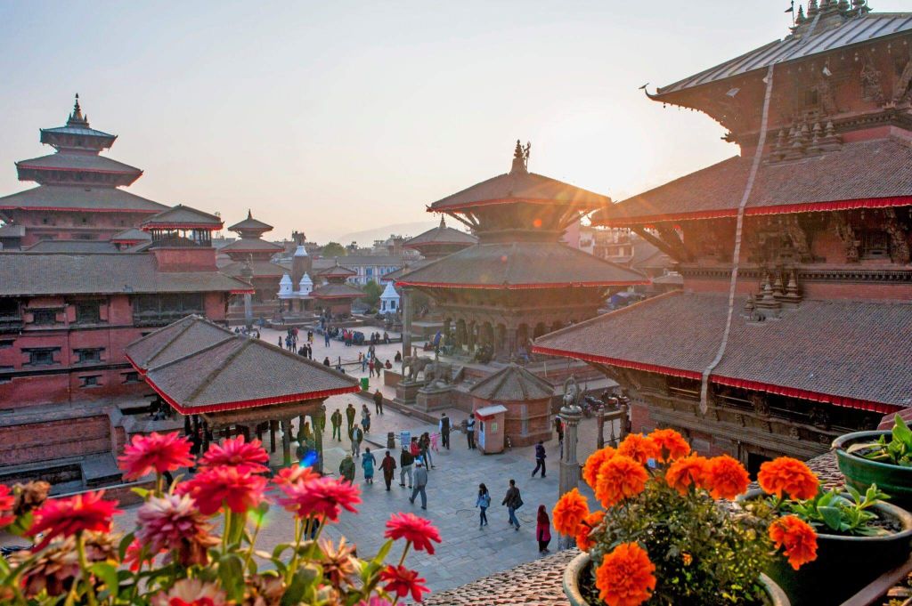
Once preparations are complete, you can explore Kathmandu and stroll through the lively streets of Thamel, filled with shops, cafes, and markets. Enjoy the day soaking in the culture and energy of the city before the expedition begins.

After breakfast, we begin our trip with a scenic drive of approximately 175 km from Kathmandu to Besisahar (760m), which takes around 6 - 7 hrs by tourist bus. Along the way, we pass through picturesque landscapes of terraced fields, small towns, and rivers. We stop at Besisahar for lunch and prepare for the next part and our stop for the day of the journey.
From Besisahar, we switch to a 4WD vehicle for a rugged 35 km off-road drive to Dharapani (1,860m), which takes about 4 hours. We follow the Marsyangdi River, leaving the villages like Bhulbhule and Chamje. The drive also offers stunning views of waterfalls, lush greenery, and the surrounding hills as we ascend into the Himalayan foothills.

We begin our trek from Dharapani after breakfast, heading towards Chame, the district headquarters of Manang. The trail takes us through dense forests of pine and fir, with occasional glimpses of the Annapurna range. We cross several suspension bridges over the Marsyangdi River and pass through charming villages like Bagarchhap and Timang, where you can enjoy stunning views of Lamjung Himal and Annapurna II.
The trek involves gradual ascents, covering a distance of approximately 15 km, and takes around 5-6 hours. Upon reaching Chame, you can relax and soak in the views of the surrounding peaks and the peaceful village atmosphere.
Overnight stay in Chame.

After breakfast, we start our trek from Chame, heading towards the picturesque village of Upper Pisang. The trail gradually ascends, taking us through dense pine forests and along the Marsyangdi River. Along the way, we pass through small settlements and witness incredible views of Annapurna II and Pisang Peak.
The trek covers a distance of approximately 16 km and takes about 5-6 hours. As we approach Upper Pisang, the landscape begins to change, with lush greenery giving way to alpine terrain. The traditional stone-built houses and monasteries in Upper Pisang give a glimpse into the local culture and heritage.
Overnight stay in Upper Pisang.
We begin our trek from Upper Pisang, following the higher route towards Ngawal. This trail offers stunning panoramic views of Annapurna II, III, IV, and Pisang Peak, making it one of the most scenic sections of the journey. The route gradually ascends, passing through sparse pine forests, traditional villages, and dry alpine landscapes.
The trek from Upper Pisang to Ngawal covers 10 km and takes around 4-5 hours. Upon reaching Ngawal, a village perched on a ridge, we can notice the Tibetan-influenced architecture and a serene atmosphere. The views of the Annapurna range from Ngawal are breathtaking, providing a perfect backdrop to unwind.
Overnight stay at Ngawal.
Today, we rest and acclimatize at Ngawal village to acclimatize and prepare for our climb to Chulu Far East. We take in stunning views of the Annapurna range and enjoy the peaceful atmosphere of this ridge-top village.
We let our bodies adjust to the altitude, which helps us reduce the risk of altitude sickness. We explore the village, visit its Tibetan-style houses and monasteries, and take short walks to stay active. These activities keep us engaged while ensuring we don’t overexert ourselves. We use this day to recharge and focus on the summiting challenges ahead.
.webp)
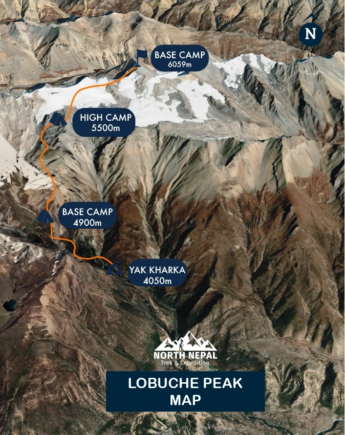
Today, we leave the Annapurna Circuit Trek trail and head toward Yak Kharka. The trail gently ascends, as we pass through the Gunsang (3960m) village. You’ll enjoy panoramic views throughout the day.
From Nagwal, go upwards from about 1 km into the valley, the first valley and the second valley with Ice Lake. We will trek for about 4 - 5 hrs before reaching Yak Khara, covering 4 - 5 km distance.
Stay overnight at a lodge.

From Yak Kharka the trail ascends all the way to base camp over a distance of around 6–8 km, which takes around 4 - 5 hours to reach Chulu West Base Camp (4,900m). Along the way, we’ll pass through alpine meadows with sparse vegetation, enjoying breathtaking views of Annapurna II, Gangapurna, and other towering peaks. The landscape gradually becomes more barren, a sign of approaching higher altitudes, while the surrounding mountain vistas provide constant inspiration.
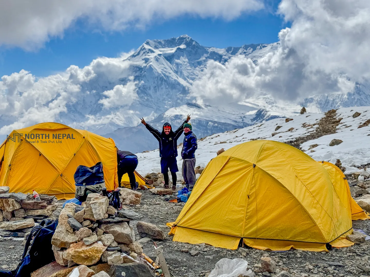
As we reach near the base camp, the trail becomes steeper, with sections of loose and rocky terrain so we need to be cautious, especially if the trek route is covered in snow. As we arrive at Chulu West Base Camp, we’ll find a serene, flat area, surrounded by the towering peaks of the Himalayas, where we set up our tents. Chulu West Base Camp offers spectacular views and serves as a key location for acclimatization and preparation for the climb ahead.

Today, we focus on expedition training and acclimatization at Chulu Base Camp, an essential step in preparing for the climb ahead. Spending the day here helps us adjust to the altitude, reducing the risk of altitude sickness and improving our stamina for higher elevations.
Our training includes practicing rope work, using ice axes, and handling crampons to ensure we are well-prepared for the technical sections of the climb. We also take time to check our gear and mentally prepare for the challenges ahead.
This day not only enhances our skills but also gives us the confidence needed for the ascent, all while enjoying the stunning views of the surrounding peaks.
We will start the climb very early today, around 2–3 a.m., under the cover of darkness with our headlamps lighting the way. The trail takes us through glaciers and along the northeast ridge as we ascend toward the summit of Chulu Far West. Midway through the climb, around the high camp we stop to enjoy the breathtaking sunrise, which paints the surrounding peaks in hues of gold and orange.

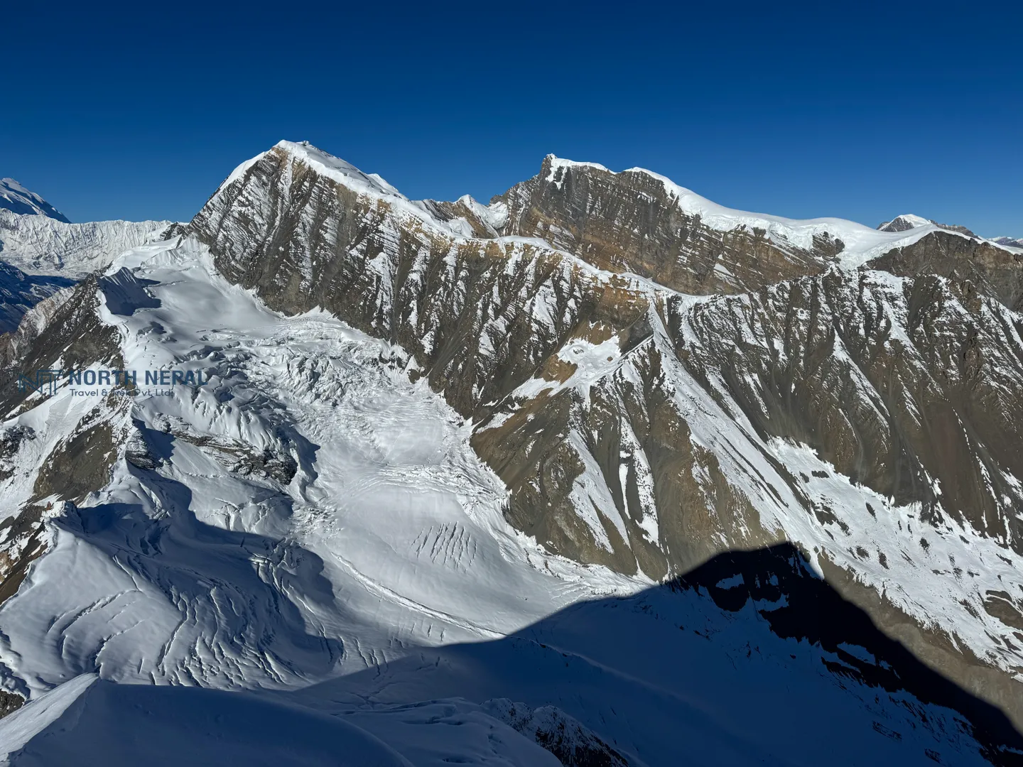
After a few hours of gradual climbing, we reach the base of the summit ridge. From here, the final ascent is steep and challenging, which requires more focus and determination. As we climb higher, the views become more spectacular, immersing us in the surreal experience of standing at the summit. From the top, we will witness panoramic views of some of the world's highest peaks, including Annapurna (8,091 m), Dhaulagiri (8,167 m), and Manaslu (8,163 m), as well as numerous other Himalayan giants.
After a huge sense of accomplishment, incredible views, and capturing memories, we begin our descent. The return journey takes us back to Base Camp via High Camp, with careful steps along the steep sections. At Base Camp, we rest briefly and pack up before continuing the descent to Yak Kharka. This makes today the longest day of the trip, around 9 - 10 hrs.
The sense of accomplishment and the awe-inspiring scenery make the climb of Chulu Far East worth it and also make this an unforgettable day.

After breakfast, we begin our trek from Yak Kharka, descending back towards the lively village of Manang. The trail descends, through alpine meadows and occasional juniper shrubs. As we retrace our steps, the lush landscapes start to return, contrasting with the barren high-altitude terrain we’ve left behind.
On the way, we stop briefly at the Braga Monastery, a serene site known for its timeless views and spiritual ambiance. Here, we observe the daily routines of the local monks and take in the peaceful mountain scenery before continuing to Manang.
The trek takes approximately 5–6 hours, covering a distance of about 10 km. Along the way, we pass through small settlements, enjoying panoramic views of the Annapurna range and the surrounding valleys.
Manang offers a chance to relax and enjoy the comforts of a well-established trekking village. With cozy lodges, bakeries, and stunning mountain views, it’s a perfect spot to celebrate the accomplishments of the past days.
After successfully summiting Chulu East, we spend a well-earned rest day in the popular tourist village of Manang. Today we recover our strength used during the physical challenges of the climb and reflect on our incredible achievements.
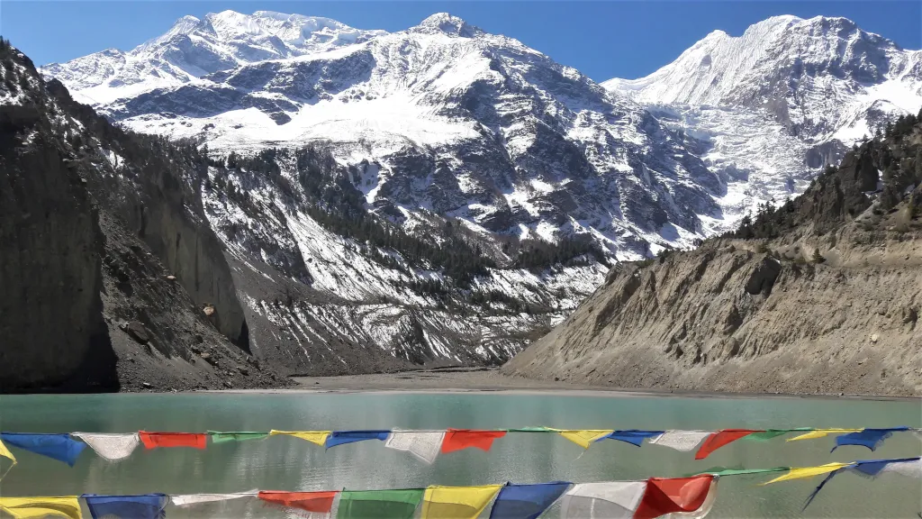
We explore the village, walk through its narrow streets, visit local attractions like the Gangapurna Lake, and talk with locals for insights into high-altitude living. For those looking to relax, Manang offers cozy bakeries and cafes with stunning mountain views, perfect for unwinding from the expedition.
This rest day helps us recharge both physically and mentally before continuing our journey along the Annapurna Circuit.

The trek from Manang to Yak Kharka ascends gradually to an altitude of 4,018 meters. The journey takes 4 to 5 hrs, covering 10 km following a trail along the Thorong Khola and passing through Tangki Manang, Ghusang, and Ghyanchang before reaching Yak Kharka. As trekkers climb above the tree line, the landscape transforms into a rugged expanse of grass, bushes, and rocks, offering stunning views of Annapurna II, III, IV, Chulu, Gangapurna, Thorong Peak, and other majestic mountains. The Tibetan Buddhist culture, charming villages, Mani walls, and yak pastures along the route add to the area’s unique appeal.
Today is also a fantastic opportunity to immerse oneself in the diverse flora and fauna of the Annapurna Conservation Area, with sightings of grazing yaks and deer near Yak Kharka village.

Overnight stay at Yak Kharka
Today, we continue our journey from Yak Kharka to Thorong Phedi, an acclimatization stop before the challenging Thorong La Pass. The trail gradually ascends, offering stunning views of the surrounding peaks and alpine landscapes.
We trek through rocky terrains and sparse vegetation, crossing small streams and walking along some steeper sections. The route takes around 4 - 5 hrs to complete, covering a distance of around 7 km. As we approach Thorong Phedi, the rugged beauty of the Himalayas becomes even more captivating.
Thorong Phedi serves as a base for climbers and trekkers preparing for the Thorong La Pass. Upon arrival, we rest and prepare for the demanding ascent ahead.

Overnight stay in Thorong Phedi.
We begin our day around 3 am, as we aim to reach Thorong La Pass before the sun climbs too high. Breakfast needs to be packed, and we’ll enjoy it during our tea and coffee breaks at shelters along the way. The trek from Thorong Phedi to Thorung High Camp takes approximately 40-50 minutes, after which we continue our journey toward Thorung La Pass.
Today marks the most awaited and challenging part of the Annapurna Circuit Trek. Be ready for steep ascents, demanding trails, breathtaking views, and an overwhelming sense of achievement as you conquer the world’s highest mountain pass.
The path from Thorong Phedi to Thorong La Pass involves a steady ascent. We cross a bridge and pass by two emergency shelters where we pause for a tea/coffee break and breakfast. Along the way, we are treated to stunning vistas of Thorung La Peak, Sangang Peak, Yakwakang, and Dajong Paldip Peak. After 5-6 hours of trekking, we finally arrive at Thorung La Pass, marked by a giant board adorned with countless Tibetan multi-colored flags.
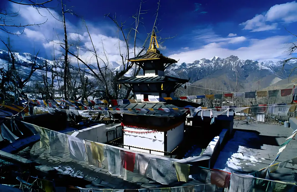
After capturing photos and enjoying the moment at Thorong La Pass, we descend toward Muktinath. The trail is entirely downhill, allowing us to reach Muktinath in about three hours. Once there, we visit the sacred Muktinath temple before heading to our hotel for the night. Rooms with attached bathrooms will be provided, subject to availability.
Overnight stay at Muktinath.

After visiting the Muktinath Temple, dedicated to Lord Vishnu, and exploring the monasteries in the area, we’ll enjoy breakfast before heading back to Pokhara in shared transport. The journey offers breathtaking views of the Annapurna and Dhaulagiri mountain ranges.

A few hours into the drive, we’ll stop at Tatopani for lunch. After a refreshing break, we’ll continue our journey along the scenic route, following the Kaligandaki River. Along the way, we’ll pass through charming traditional villages and take in stunning mountain views.'
The total distance from Muktinath to Pokhara is approximately 175 km (108.7 miles). We’ll spend the night at Lakeside, Pokhara.
Spring (Mar-May) and Autumn (Sep-Nov) are the best seasons to climb Chulu Far East Peak - book early to secure your permit and guide.
The summit push involves steep rocky paths, icy slopes, snowfields, and a small serac crossing near the top. Our climbing guides fix ropes on the more challenging sections, and crampons, an ice axe, and basic mountaineering skills are required.
We spend multiple days above 5,000 m, including crossing Thorong La Pass at 5,416 m, so the risk of Acute Mountain Sickness is real. Our itinerary includes acclimatization days at Ngawal and Manang, and our guides monitor every climber closely throughout the expedition.
Travel insurance covering high-altitude trekking, climbing, and emergency evacuation up to at least 6,100 m is mandatory for the Chulu Far East expedition. Please arrange your policy before departure and share the details with us so we can act quickly in case of an emergency.
Secure the Chulu Far East Peak Climb for 2026/2027 before the seat gets fully booked.
The expedition follows the Annapurna Circuit through traditional Gurung and Thakali communities, with villages such as Dharapani, Chame, Pisang, Ngawal and Manang along the route. You’ll also encounter Tibetan-influenced architecture, Buddhist monasteries, mani walls, prayer flags and traditional mountain villages before entering the high alpine zone.
Yes. The route passes several culturally significant sites, including monasteries around Upper Pisang, Ngawal, Braga and Manang. The itinerary also includes a visit to Braga Monastery after the climb, providing an opportunity to experience the Buddhist heritage of the Manang region.
You need standard high-altitude trekking gear plus technical climbing equipment, including mountaineering boots, crampons, ice axe, climbing harness, carabiners, ascender, descender, snow protection equipment and slings. The summit route includes steep rocky, icy and snow-covered sections, so appropriate equipment is essential.
The package provides expedition tents, mattresses, kitchen and dining equipment, as well as a down sleeping bag and duffel bag. Personal technical climbing equipment, including climbing boots, crampons, ice axe, jumar, harness, carabiners, figure-8 device and slings, is excluded and should be brought or arranged separately.
Personal expenses can include personal climbing gear, snacks, desserts, additional hot or bottled drinks, boiled or mineral water, Wi-Fi, hot showers, charging, laundry and tips. Travel and evacuation insurance are also excluded from the package. The listed package price is USD 3,800 per person at the time of the current page listing.
Yes. The published Chulu Far East itinerary is offered as a private trip. The standard itinerary is 17 days, although the expedition can be adjusted depending on the group's experience, acclimatization needs and preferred pace.
Autumn (September to November) is considered the best season, with generally stable mountain weather and clearer views. Spring (March to May) is another good climbing window. Conditions at 6,000 meters can change quickly in either season, so the summit attempt should always remain dependent on actual weather and mountain conditions.
Winter brings severe cold and increased snow and ice, while the monsoon season can create wetter and less predictable conditions on the lower Annapurna Circuit. For a high-altitude summit attempt, the more stable spring and autumn windows are the practical choices.
Yes. The summit reaches 6,059 meters, and altitude is one of the major risks of the expedition. The itinerary includes an acclimatization day at Ngawal and another acclimatization and climbing-training day at Chulu Base Camp. A gradual ascent, adequate hydration, proper rest and immediate reporting of symptoms to your guide are essential.
You need good cardiovascular fitness, endurance and the ability to handle long days at altitude. The summit day can take around 9 to 10 hours, beginning very early in the morning and involving steep terrain above 6,000 meters. Prior high-altitude trekking experience and basic mountaineering skills are strongly beneficial.
Chulu Far East is described as one of the more approachable Chulu peaks, but it isn't simply a high-altitude hike. You need basic mountaineering skills and must be comfortable learning and using equipment such as crampons, ice axe, ropes, harness and ascender. The expedition includes climbing training at base camp before the summit attempt.
Yes. Comprehensive travel and evacuation insurance is strongly recommended for this expedition. Your policy should specifically cover high-altitude mountaineering, medical treatment and emergency evacuation at the maximum altitude of the itinerary.
Chulu Far East Peak stands at 6,059 meters (19,880 feet) above sea level. It is one of the Chulu peaks in the Annapurna region and is considered the most approachable of the three Chulu peaks, although the summit still involves demanding high-altitude climbing.
The published itinerary is 17 days / 16 nights. It combines the approach through the Annapurna Circuit, acclimatization and climbing preparation, the Chulu Far East summit attempt, and the crossing of Thorong La at 5,416 meters before descending toward Muktinath and returning to Pokhara.
Yes. The package lists a USD 500 garbage deposit to the Nepal Mountaineering Association, which is refundable subject to the applicable waste-management requirements.
The expedition requires the applicable Chulu Far East climbing permit, Annapurna Conservation Area Permit (ACAP) and trekking registration documentation. North Nepal Travel & Trek arranges the necessary permits and paperwork as part of the expedition package.
The expedition starts with a drive from Kathmandu to Besisahar, followed by a 4WD journey to Dharapani. The trekking section then follows the Annapurna Circuit through Chame, Upper Pisang, Ngawal and the high mountain region. After crossing Thorong La and reaching Muktinath, you return to Pokhara by road.
The expedition uses a combination of mountain lodges and camping. Lodge accommodation is used through much of the Annapurna Circuit, while camping is required for the higher climbing section, including the Chulu Base Camp area. The camping setup includes tents, mattresses, kitchen, dining and toilet facilities.
Breakfast, lunch and dinner are included during the trek and climbing period, together with tea or coffee. Meals are prepared in teahouses along the established route and by the expedition kitchen during camping sections. Safe drinking water is also included in the package.
Connectivity is available in some established villages along the Annapurna Circuit, but it becomes increasingly unreliable as you move toward the high camps. Wi-Fi and electronic charging are listed as personal expenses, so climbers should not depend on continuous internet access during the expedition.
The route provides views of Annapurna I, II, III and IV, Gangapurna, Dhaulagiri I, Manaslu, Tilicho Peak, Pisang Peak, Thorong Peak and Glacier Dome, with particularly expansive views from higher sections and the summit.
The journey moves through a remarkable range of landscapes, from lush forests and river valleys to alpine meadows, dry high-altitude terrain, glaciers and snow-covered slopes. The Annapurna Conservation Area also provides opportunities to observe mountain wildlife, including grazing yaks and deer around the high villages.